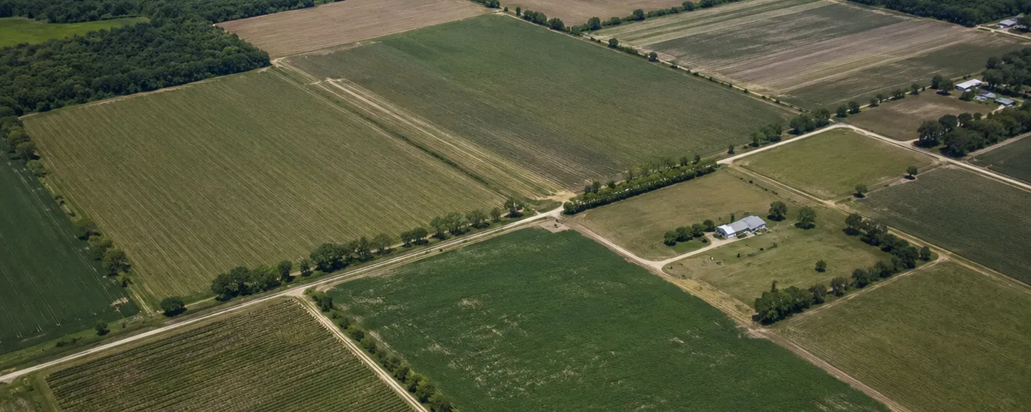
Rural Jackson County zoning is generally more permissive than what buyers from urban counties expect — agriculture, homesites, and manufactured homes are allowed across much of the county. But "generally permissive" is not a fact about your parcel. Every one of these questions is parcel-specific.
What to Verify
- Zoning district and permitted uses. What can be built or operated by right, and what needs a special exception.
- Deed restrictions and covenants. Private restrictions recorded against the land can be stricter than county zoning — no mobile homes, minimum house sizes, no commercial activity. The deed controls even when the county would allow it.
- Minimum lot sizes and setbacks. These decide where a house can sit and whether the parcel can ever be divided.
- Agricultural classification (greenbelt). If the land is taxed under agricultural classification, understand what use is required to keep it — and what the taxes become if it's lost.
- Future land use. The county's comprehensive plan says what an area is intended to become. Worth a look if you are betting on the parcel's long-term value.
Special Situations in This County
- Near I-10 interchanges: parcels close to the interstate — especially around Cottondale, where US-90, US-231, and the interstate all meet — may carry commercial-leaning designations or attract them later. That can help or hurt your plans, so know which.
- Along the Chipola and near the springs: environmental rules can add review layers for construction close to the river, wetlands, and spring runs.
- In town limits: Marianna, Graceville, Sneads, and the other incorporated towns each apply their own zoning inside city limits — the rules change at the line.
- On working farm ground: the north and west county around Malone, Campbellton, and Graceville is heavily agricultural, so greenbelt classification and active farm leases are routine considerations rather than exceptions.
How to check: the Jackson County planning department can confirm a parcel's zoning and permitted uses over the phone with a parcel ID. Doug can also pull the zoning, future land use, and any recorded restrictions on a parcel as part of evaluating it with you.
Next check: Flooding & Drainage ›